|
Information
Results
Resources
Our partners
|
|
|
|
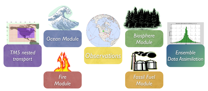
To learn more about a CarbonTracker Europe component, click on one of the above images.
Or download the full PDF version for convenience.
|
|
1. Introduction
Vegetation fires are an important part of the carbon cycle and have been so for many millennia. Even before human civilization began to use fires to clear land for agricultural purposes, most ecosystems were subject to natural wildfires that would rejuvenate old forests and bring important minerals to the soils. When fires consume part of the landscape in either controlled or natural burning, carbon dioxide (amongst many other gases and aerosols) is released in large quantities. Each year, vegetation fires emit more than 2 PgC as CO2 into the atmosphere, mostly in the tropics. Currently, a large fraction of these fires is started by humans, and mostly intentionally to clear land for agriculture, or to re-fertilize soils before a new growing season. This important component of the carbon cycle is monitored mostly from space, while sophisticated 'biomass burning' models are used to estimate the amount of CO2 emitted by each fire. Such estimates are then used in CarbonTracker to prescribe the emissions, without further refinement by our measurements.
2. Detailed Description
The fire module currently used in CarbonTracker is based on the Global Fire Emissions Database version 4 (GFEDv4/MCD64A1), which is used in the SiBCASA biosphere model as described here. The GFED4/MCD64A1 dataset consists of 0.25x0.25 degree gridded monthly burned area for the time period spanning January 1997 - December 2017. The CO2 emissions are calculated in SiBCASA using the Burned Area and the vegetation types. The GFEDv4 burned area is based on MODIS satellite observations of fire counts. The full data set was produced by combining 500 m MODIS burned area maps with active fire data from the Tropical Rainfall Measuring Mission (TRMM) Visible and Infrared Scanner (VIRS) and the Along-Track Scanning Radiometer (ATSR) family of sensors.
Once burned area has been estimated globally, emissions of trace gases are calculated using the SiBCASA biosphere model. The seasonally changing vegetation and soil biomass stocks in the SiBCASA model are combusted based on the burned area estimate, and converted to atmospheric trace gases using estimates of fuel loads, combustion completeness, and burning efficiency.
GFED products were successfully used in recent studies of CH4, CO2, CO, and other trace gases.
3. Further Reading
- Giglio, L. et al. (2013), Analysis of daily, monthly, and annual burned area using the fourth-generation global fire emissions database (GFED4), J. Geophys. Res.: Biogeosciences, 118, 317-328
- van der Werf, G. R. et al. (2006), Interannual variability in global biomass burning emissions from 1997 to 2004, Atm. Chem. Phys., 6(11), 3423-3441
- van der Velde, I. R. et al. (2013), Biosphere model simulations of interannual variability in terrestrial 13C/12C exchange, Global Biogeochemical Cycles, 27(3), 637-649.
- van der Velde, I. R. et al. (2014), Terrestrial cycling of 13CO2 by photosynthesis, respiration, and biomass burning in SiBCASA , Biogeosciences, 11, 6553-6571.
- Giglio et al. (2006), Global estimation of burned area using MODIS active fire observations, Atmos. Chem. Phys., 6, 957-974
|
|